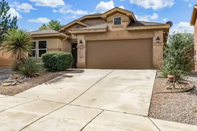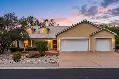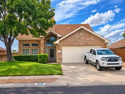
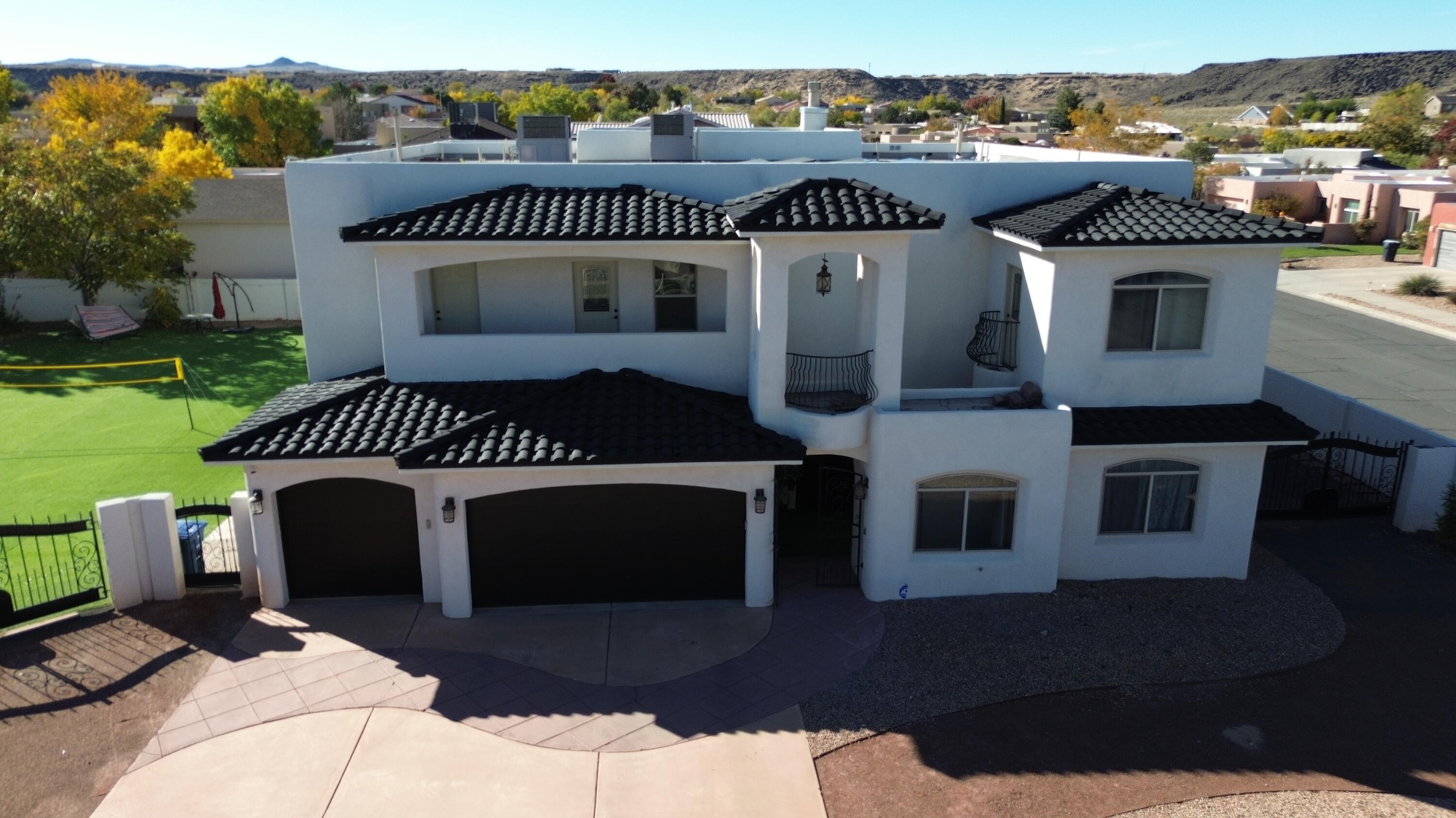
$369,000
4 bds · 3 ba · 1,955 sqft
7539 Calyx Drive NW, Albuquerque, 87120

87105 · Albuquerque, NM
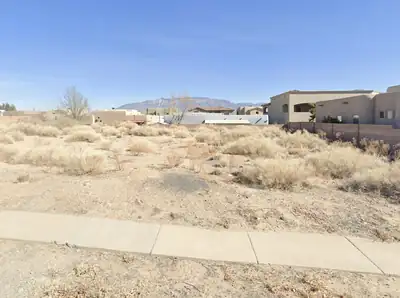
Westside covers the part of Albuquerque west of the Rio Grande, where the ground climbs from the bosque to a 17-mile basalt escarpment and the five volcanic cones that mark the city's western skyline. It reaches north to Corrales Road and south to Central Avenue, with Petroglyph National Monument holding the western edge. Growth came late and fast: between 1980 and 1990 the west side added population three times faster than the rest of the city. Single-family subdivisions dominate, running from established neighborhoods near the river to newer master-planned tracts pressed against the mesa.
Development west of the river runs under the city's West Side Strategic Plan. The Northwest Mesa Escarpment Plan, adopted in 1988, sets design, construction, view and drainage rules for land near the basalt rim, and in 2011 the city amended the strategic plan to cover Volcano Mesa, dividing it into the Volcano Cliffs, Volcano Trails and Volcano Heights sector plans.
Paradise Hills is the oldest piece, built as an isolated housing tract in the 1960s. Taylor Ranch organized its neighborhood association in 1980 and draws its lines at the river, Paseo del Norte, the lava flow to the west and Western Trail. Volcano Cliffs, Ventana Ranch, Ladera Heights, Oxbow, Anderson Heights, La Cuentista, Saltillo, Stormcloud, Aspire and Mirehaven came later, and roughly four dozen smaller named areas sit under the same heading.
No single association covers the region. Dues, covenants and shared amenities belong to individual subdivisions, so two streets a mile apart can sit under entirely different rules.
The river edge gained public ground in 2021, when the city acquired 23 acres above the San Antonio Oxbow that had been platted for houses. A walking loop, an accessible path, an outdoor classroom and interpretive signs opened there once construction finished. The oxbow wetlands are the only ones connected to the Rio Grande along a 40-mile stretch, and more than 179 bird species have been recorded at the site.
ABQ Ride keeps two hubs on this side of the river: the Northwest Transit Center at Ellison and Coors Bypass, open since 2008, and the Central and Unser Transit Center, where park-and-ride parking is free.
MLS data, updated daily.
Bounded by Corrales Road (north), Central Avenue (south), Rio Grande (east), The basalt escarpment and volcanic cones, extending westward toward the Rio Puerco (west).
Nearby Petroglyph National Monument (open space), Albuquerque volcanoes (open space), San Antonio Oxbow Bluffs Open Space (open space), Rio Grande bosque (open space)


Connect with a real estate agent today — Call/text (505) 521 8550
| Community Type | Region |
| Property Type | Single Family |
| Home Size | 1,550–2,350 sq ft |
| Bedrooms | 3–4 |
| New Construction | No |
| HOA | No |
| Built | 1985 to 2021 |

Daria Derebera
Real Estate Broker in Albuquerque, NM