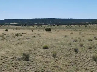
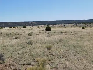

70 ACRES SOUTH COYOTE TRAIL
Quemado, NM 87829
$69,900
70 acres
10/29/2025
Listing Date
1093670
Listing #
87829
Zip Code
Catron
County
About This Property
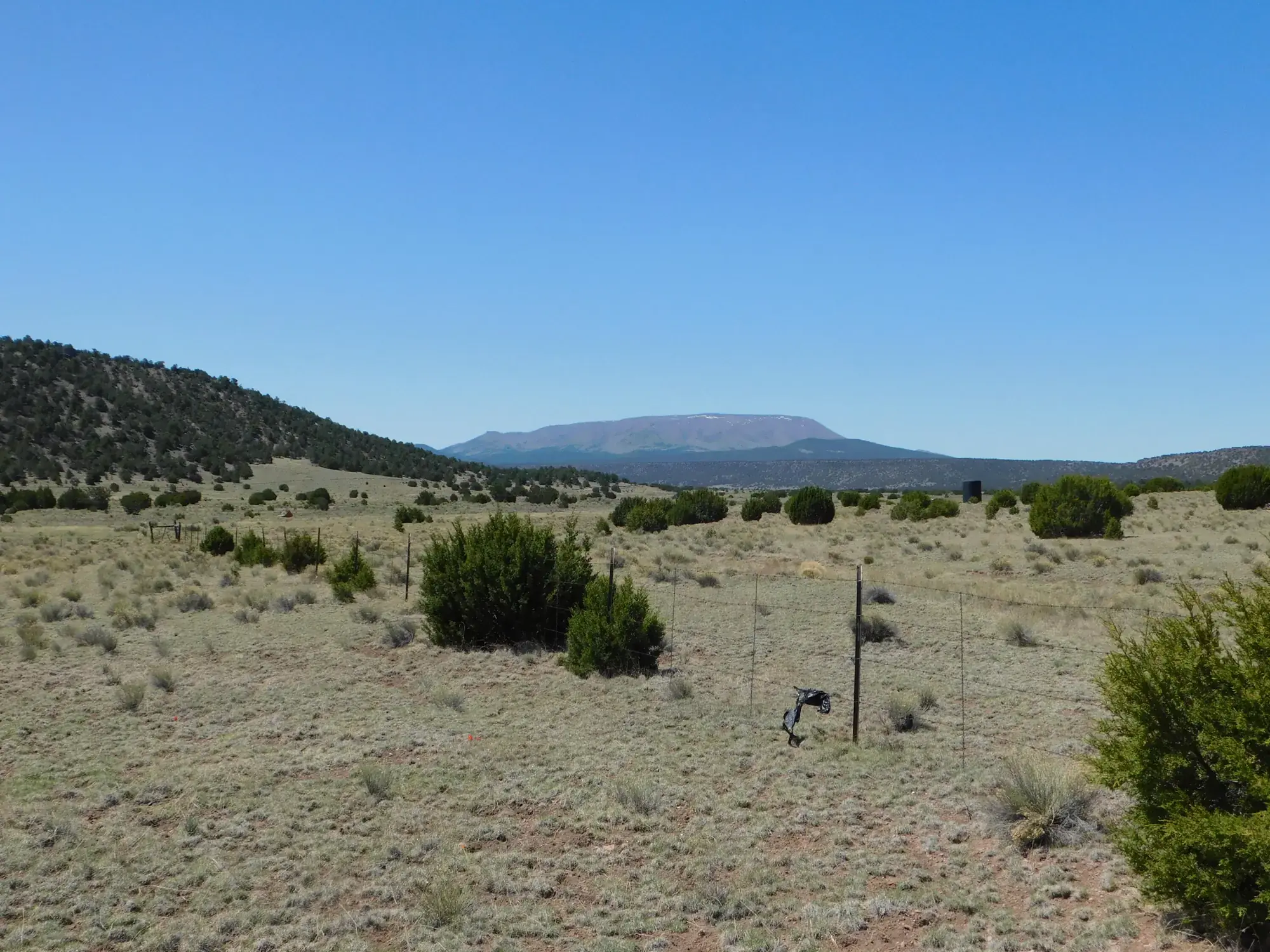
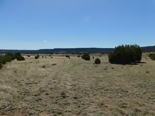
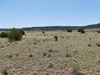
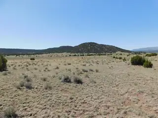
70 ACRES OF UNRESTRICTED LAND FOR UNDER $1000 AN ACRE. CLOSE TO THE AZ/NM BORDER. MOSTLY FENCED RANCH LAND WITH SOME JUNIPER. COYOTE CREEK IS AN OCCASIONAL CREEK DURING MONSOON/SPRING RUN OFF THAT BISECTS THE PROPERTY. EXCELLENT OPPORTUNITY FOR CATTLE OR HORSES. POWER NEAR THE NORTH PORTION OF THE PROPERTY, WILL REQUIRE WELL/SEPTIC IN ACCORDANCE WITH STATE OF NEW MEXICO REGULATIONS FOR A RESIDENCE. APPROX 7000' ELEVATION. NATIONAL FOREST IS A COUPLE MILES TO THE SOUTH AS THE CROW FLIES. 30 MINUTES TO SPRINGERVILLE, AZ, 3 HOURS TO ALBUQUERQUE, NM. 5 HOURS TO PHOENIX, TUCSON OR LAS CRUCES. CASH SALE ONLY, SELLER WILL NOT FINANCE THE SALE.
Building And Construction
Property Type:
Land
Fencing:
Partial, Wire
Exterior And Lot
Lot Size Acres:
70
Lot Size Square Feet:
3,049,200 sqft
View (Yes/No):
Yes
Provisional
MLS #:
1093670
Current Use:
Unimproved
Listing Terms:
Cash
Possible Use:
Unimproved
Area And Schools
City:
Quemado
Postal Code:
87829
MLS Area Major:
Catron
County:
Catron
Topography:
Sloping
Distance To Electric Comments:
0 - 1/4 Mile
Horse Amenities:
Horses Allowed
Horses Allowed:
Yes
Lot Features:
Views, Acreage, Gentle Sloping, Stream/Creek
Number Of Lots:
2
Parcel Number:
3124011330066
Utilities
Utilities:
Cable Not Available, Electricity Available, Natural Gas Not Available, Phone Not Available, Sewer Not Available, Water Not Available
Water Source:
None, Private
Location
Directions: SPRINGERVILLE, AZ - US HWY 60 EAST TO AZ MILE MARKER 397. TURN RIGHT (SOUTH) ON CR 4225 (SET ODOMETER) TRAVEL 5 MILES AND VEER LEFT ON CR 4000. AT 6.6 MILES ENTER ESCUDILLA BONITA AND NEW MEXICO. TRAVEL 1/3 MILE AND TURN RIGHT (SOUTH) ON SOUTH COYOTE TRAIL. FOLLOW TO THE END OF THE ROAD, APPROX 1/4 MILE. SIGN. (PARK VEHICLE THERE AND WALK THROUGH OPENING IN THE FENCE. THIS IS THE UPPER 40 AC PARCELWHICH IS FENCED. LOWER 30 AC PARCEL IS ONLY FENCED ON THE NORTH SIDE.)
Mortgage Calculator
$
$
%
Monthly Payment**:
** All calculations are estimates and provided for informational purposes only. Actual amounts may vary.
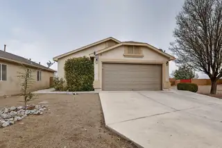
New Homes for Sale in Albuquerque Area
View All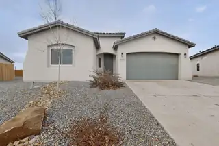


Listing courtesy of New Mexico Land & Investments
 Some of the information contained herein has been provided by SWMLS, Inc. This information is from sources deemed reliable but not guaranteed by SWMLS, Inc. The information is for consumers’ personal, non-commerical use and may not be used for any purpose other than identifying properties which consumers may be interested in purchasing.

Daria Derebera
Real Estate Broker in Albuquerque, NM